


Tour de Montlhery - 20km

jeanmarcMasson
User GUIDE
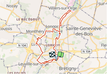

Length
19.8 km

Max alt
129 m

Uphill gradient
200 m
Km-Effort
22 km

Min alt
34 m

Downhill gradient
201 m
Boucle
Yes
Creation date :
2023-09-20 07:56:01.333
Updated on :
2023-09-26 15:53:04.439
5h06
Difficulty : Very difficult

FREE GPS app for hiking
 SityTrail
IGN / Geographical institutes
SityTrail Plus
The world is yours!
About
Trail Walking of 19.8 km to be discovered at Ile-de-France, Essonne, Brétigny-sur-Orge. This trail is proposed by jeanmarcMasson.
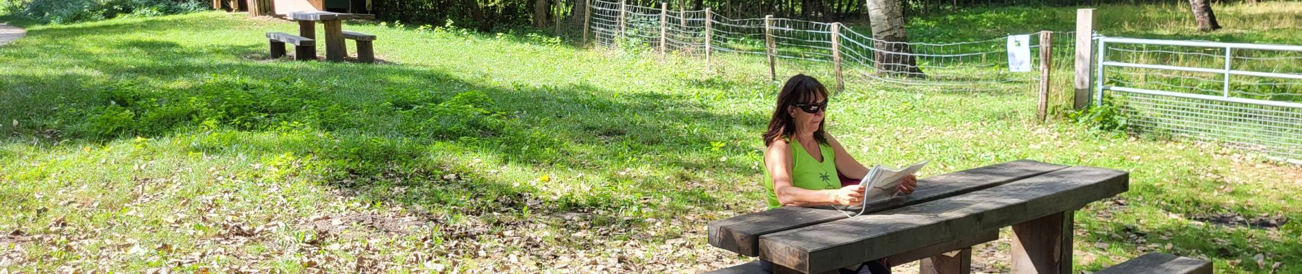
Photos

Positioning
Country:
France
Region :
Ile-de-France
Department/Province :
Essonne
Municipality :
Brétigny-sur-Orge
Location:
Unknown
Start:(Dec)
Start:(UTM)
447979 ; 5385204 (31U) N.
Comments