


Verkorte reewandeling

gossim2
User
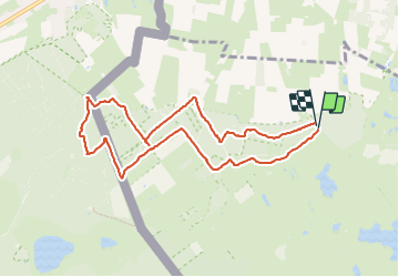

Length
8.2 km

Max alt
33 m

Uphill gradient
56 m
Km-Effort
8.9 km

Min alt
18 m

Downhill gradient
53 m
Boucle
Yes
Creation date :
2023-09-18 10:23:53.0
Updated on :
2023-09-23 14:26:48.741

FREE GPS app for hiking
 SityTrail
IGN / Geographical institutes
SityTrail Plus
The world is yours!
About
Trail of 8.2 km to be discovered at Flanders, Antwerp, Kalmthout. This trail is proposed by gossim2.
Description
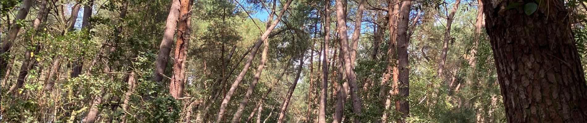
Stuk heide en bos
Photos


Positioning
Country:
Belgium
Region :
Flanders
Department/Province :
Antwerp
Municipality :
Kalmthout
Location:
Unknown
Start:(Dec)
Start:(UTM)
598674 ; 5697254 (31U) N.
Comments