


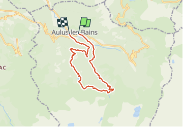
Aulus - Cascade d’Ars lac Guzet vallee fouiller

pierre.chaudat
User

Length
15.7 km

Max alt
1591 m

Uphill gradient
864 m
Km-Effort
27 km

Min alt
743 m

Downhill gradient
889 m
Boucle
No
Creation date :
2023-09-24 08:15:16.0
Updated on :
2024-09-06 15:30:45.54
6h18
Difficulty : Medium

FREE GPS app for hiking
 SityTrail
IGN / Geographical institutes
SityTrail Plus
The world is yours!
About
Trail Walking of 15.7 km to be discovered at Occitania, Ariège, Aulus-les-Bains. This trail is proposed by pierre.chaudat.
Description
Attention rando assez difficile car il faut grimper ou descendre dans de grosses pierres....
Positioning
Country:
France
Region :
Occitania
Department/Province :
Ariège
Municipality :
Aulus-les-Bains
Location:
Unknown
Start:(Dec)
Start:(UTM)
364403 ; 4738810 (31T) N.
Comments