


Sentier de la plaine d'Agout Saint Lieux les Lavaur

tabouelle
User
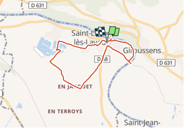

Length
7.4 km

Max alt
126 m

Uphill gradient
53 m
Km-Effort
8.1 km

Min alt
100 m

Downhill gradient
50 m
Boucle
Yes
Creation date :
2023-09-29 07:18:02.952
Updated on :
2023-09-29 10:11:32.152
2h53
Difficulty : Very easy

FREE GPS app for hiking
 SityTrail
IGN / Geographical institutes
SityTrail Plus
The world is yours!
About
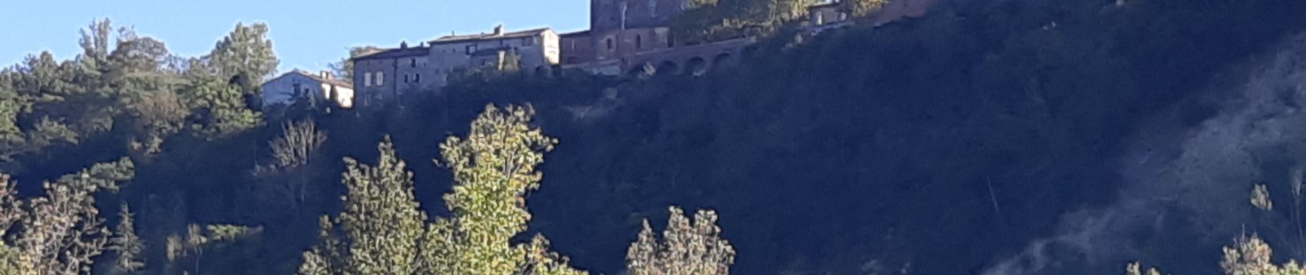
Trail Walking of 7.4 km to be discovered at Occitania, Tarn, Saint-Lieux-lès-Lavaur. This trail is proposed by tabouelle.
Photos


Positioning
Country:
France
Region :
Occitania
Department/Province :
Tarn
Municipality :
Saint-Lieux-lès-Lavaur
Location:
Unknown
Start:(Dec)
Start:(UTM)
400442 ; 4846451 (31T) N.
Comments