


2023-10-04_21h12m05_rocher-rond

okfred26
User

Length
8.8 km

Max alt
2444 m

Uphill gradient
1045 m
Km-Effort
23 km

Min alt
1393 m

Downhill gradient
1048 m
Boucle
Yes
Creation date :
2023-10-04 19:12:05.259
Updated on :
2023-10-10 07:59:00.238
5h09
Difficulty : Very difficult

FREE GPS app for hiking
 SityTrail
IGN / Geographical institutes
SityTrail Plus
The world is yours!
About
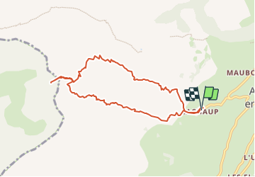
Trail Walking of 8.8 km to be discovered at Provence-Alpes-Côte d'Azur, Hautes-Alpes, Le Dévoluy. This trail is proposed by okfred26.
Positioning
Country:
France
Region :
Provence-Alpes-Côte d'Azur
Department/Province :
Hautes-Alpes
Municipality :
Le Dévoluy
Location:
Agnières-en-Dévoluy
Start:(Dec)
Start:(UTM)
726923 ; 4952721 (31T) N.
Comments