


sortie EFV

CDSM 55
User

Length
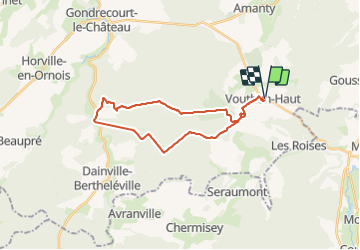
24 km

Max alt
443 m

Uphill gradient
355 m
Km-Effort
29 km

Min alt
314 m

Downhill gradient
356 m
Boucle
Yes
Creation date :
2023-10-07 12:30:22.54
Updated on :
2023-10-07 15:16:06.019
1h51
Difficulty : Medium

FREE GPS app for hiking
 SityTrail
IGN / Geographical institutes
SityTrail Plus
The world is yours!
About
Trail Mountain bike of 24 km to be discovered at Grand Est, Meuse, Vouthon-Haut. This trail is proposed by CDSM 55.
Positioning
Country:
France
Region :
Grand Est
Department/Province :
Meuse
Municipality :
Vouthon-Haut
Location:
Unknown
Start:(Dec)
Start:(UTM)
693511 ; 5372568 (31U) N.
Comments