


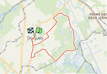

10.7 km | 11.4 km-effort

User


FREE GPS app for hiking
 SityTrail
IGN / Geographical institutes
SityTrail World
The world is yours!
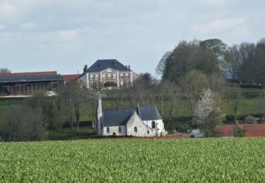
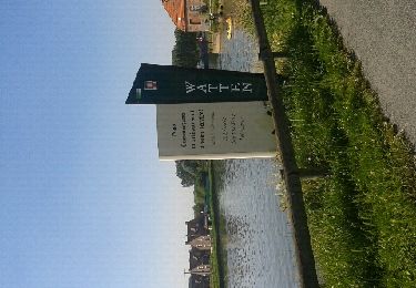
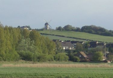
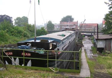
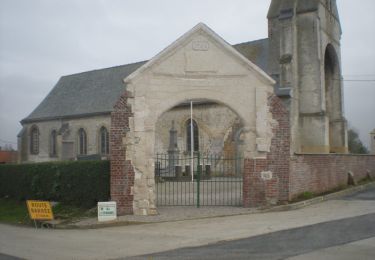
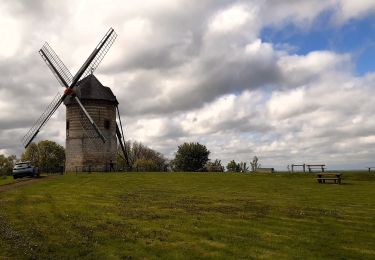
Trail Walking of 8.1 km to be discovered at Hauts-de-France, Pas-de-Calais, Serques. This trail is proposed by labotte.
circuit du langsberg


Walking
Walking
Walking

Walking
Cycle
Walking
Walking
Walking