


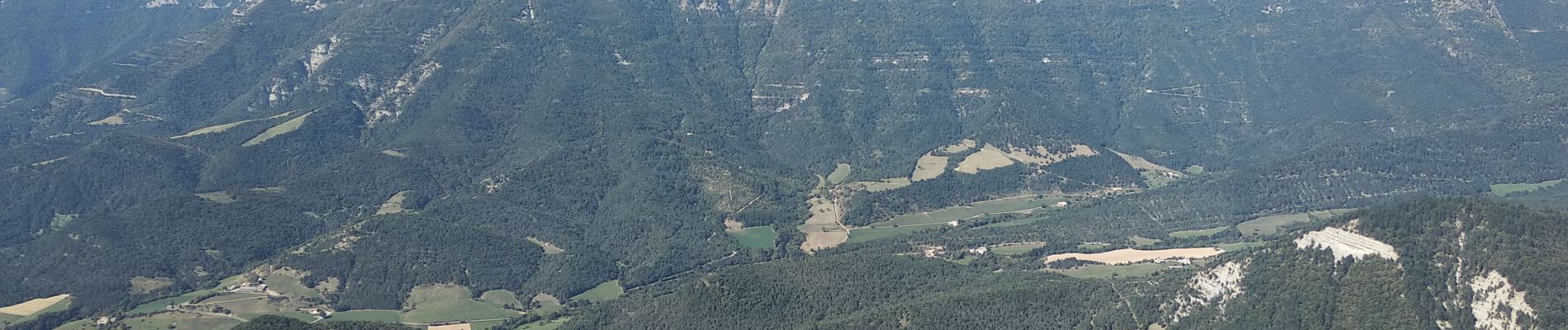
pas de bouillanain st julien en Quint

alinetpierre
User
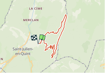

Length
17 km

Max alt
1459 m

Uphill gradient
911 m
Km-Effort
29 km

Min alt
642 m

Downhill gradient
910 m
Boucle
Yes
Creation date :
2023-10-05 07:14:18.717
Updated on :
2023-10-11 11:33:02.342
5h06
Difficulty : Difficult

FREE GPS app for hiking
 SityTrail
IGN / Geographical institutes
SityTrail Plus
The world is yours!
About
Trail Walking of 17 km to be discovered at Auvergne-Rhône-Alpes, Drôme, Saint-Julien-en-Quint. This trail is proposed by alinetpierre.
Description
pierriers avant le pas de bouillanain
Photos


Positioning
Country:
France
Region :
Auvergne-Rhône-Alpes
Department/Province :
Drôme
Municipality :
Saint-Julien-en-Quint
Location:
Unknown
Start:(Dec)
Start:(UTM)
682621 ; 4968118 (31T) N.
Comments