


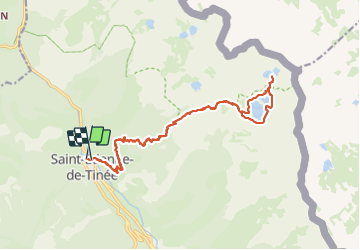

19.5 km | 40 km-effort

User


FREE GPS app for hiking
 SityTrail
IGN / Geographical institutes
SityTrail World
The world is yours!
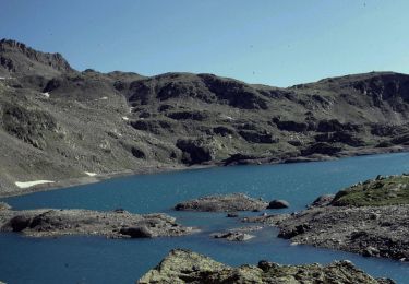
Trail Walking of 22 km to be discovered at Provence-Alpes-Côte d'Azur, Maritime Alps, Saint-Étienne-de-Tinée. This trail is proposed by nadd73.
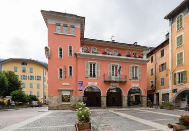
Départ de Saint Etienne de tinée.
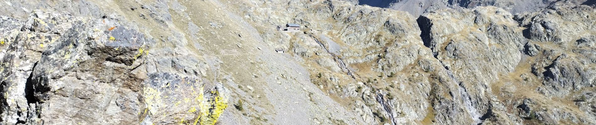
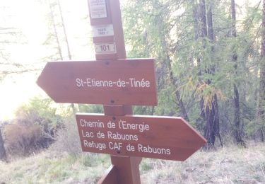
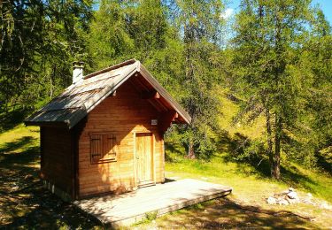
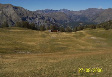
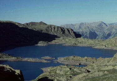
Montée dans la forêt longue sinon le sentier de l'énergie dans le rocher est très beau et ne parlons pas des lacs d'automne !


Walking

Walking
On foot
On foot
On foot
On foot
On foot
On foot

On foot