


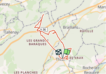

13.4 km | 17.7 km-effort

User


FREE GPS app for hiking
 SityTrail
IGN / Geographical institutes
SityTrail World
The world is yours!
Trail Walking of 16.2 km to be discovered at Bourgogne-Franche-Comté, Doubs, Thise. This trail is proposed by eltonnermou.
parking derrière l'église de Thise.
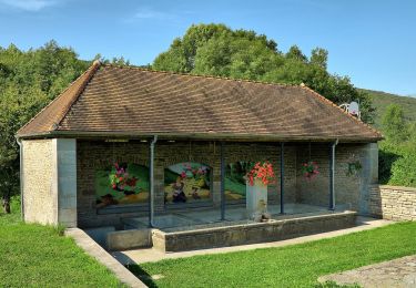
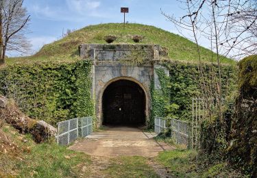
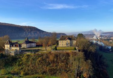
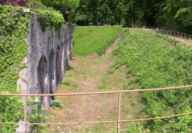
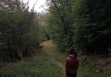
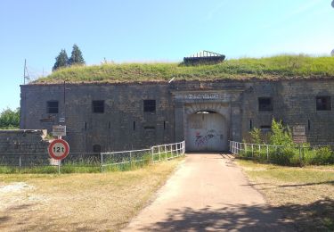
Randonnée très agréable, à travers le paysage vallonné de notre région, avec de longues parties boisées. Un joli point de vue, lors de la montée sur les monts du haut Doubs, Montmahoux, mont Poupet, la citadelle, les ruines du château de Montfaucon, et au sommet du fort de la dame blanche. Faites les deux allers retours, l'un à la fontaine des accacias et celui de la vierge avec le point de vue sur le village de Thise.


Walking
On foot
On foot
On foot
On foot
On foot

Walking
Walking
Walking