


Verdolier-Frâche

MarcLEBARON
User
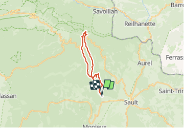

Length
19.4 km

Max alt
1365 m

Uphill gradient
722 m
Km-Effort
29 km

Min alt
723 m

Downhill gradient
723 m
Boucle
Yes
Creation date :
2023-10-21 07:12:14.351
Updated on :
2023-12-03 15:27:20.403
5h16
Difficulty : Difficult

FREE GPS app for hiking
 SityTrail
IGN / Geographical institutes
SityTrail Plus
The world is yours!
About
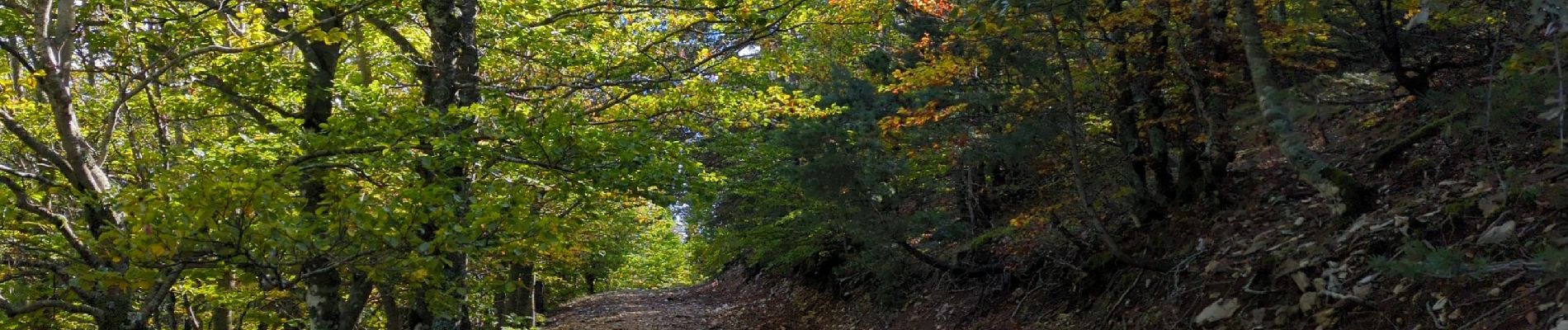
Trail Walking of 19.4 km to be discovered at Provence-Alpes-Côte d'Azur, Vaucluse, Sault. This trail is proposed by MarcLEBARON.
Photos


Positioning
Country:
France
Region :
Provence-Alpes-Côte d'Azur
Department/Province :
Vaucluse
Municipality :
Sault
Location:
Unknown
Start:(Dec)
Start:(UTM)
689684 ; 4885506 (31T) N.
Comments