


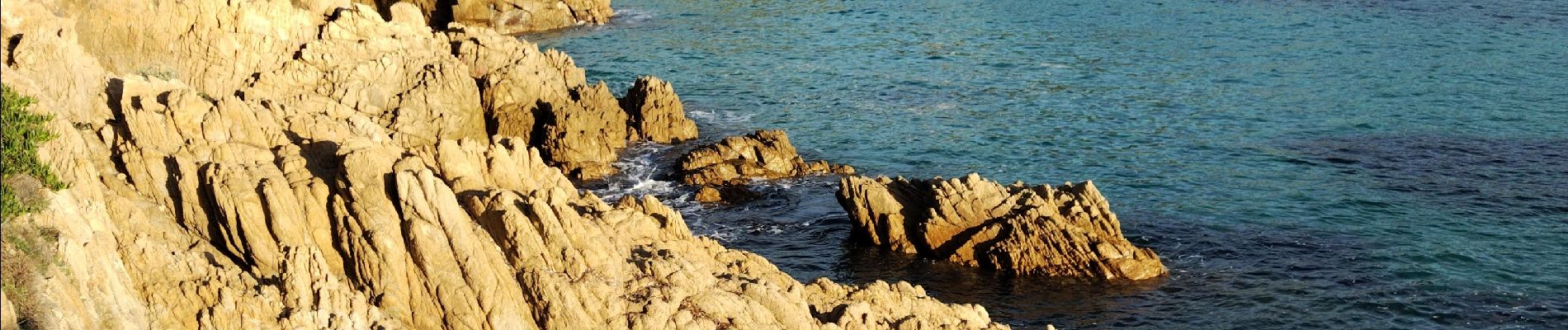
Cap Lardier

cousam
User
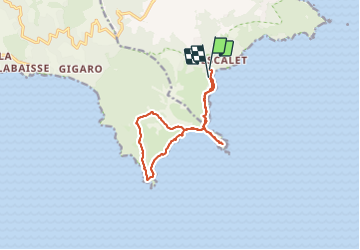

Length
12.8 km

Max alt
137 m

Uphill gradient
342 m
Km-Effort
17.3 km

Min alt
0 m

Downhill gradient
326 m
Boucle
No
Creation date :
2023-10-28 07:02:11.348
Updated on :
2023-10-29 14:57:27.273
5h33
Difficulty : Medium

FREE GPS app for hiking
 SityTrail
IGN / Geographical institutes
SityTrail Plus
The world is yours!
About
Trail Walking of 12.8 km to be discovered at Provence-Alpes-Côte d'Azur, Var, Ramatuelle. This trail is proposed by cousam.
Description
Au km 9. le chemin est barré (propriété privé ...)
Photos


Positioning
Country:
France
Region :
Provence-Alpes-Côte d'Azur
Department/Province :
Var
Municipality :
Ramatuelle
Location:
Unknown
Start:(Dec)
Start:(UTM)
308309 ; 4784360 (32T) N.
Comments