


4.7 km | 8 km-effort


User


FREE GPS app for hiking
 SityTrail
IGN / Geographical institutes
SityTrail World
The world is yours!
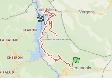
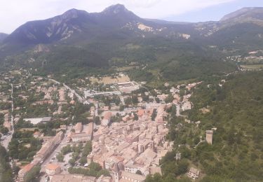
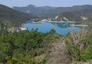
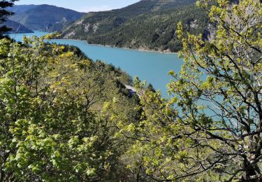
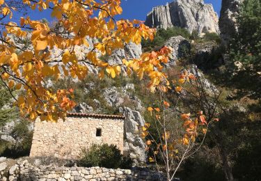
Trail Mountain bike of 19.7 km to be discovered at Provence-Alpes-Côte d'Azur, Alpes-de-Haute-Provence, Demandolx. This trail is proposed by franquen.
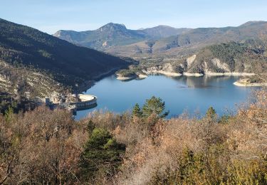
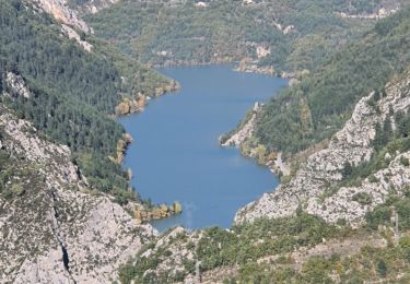
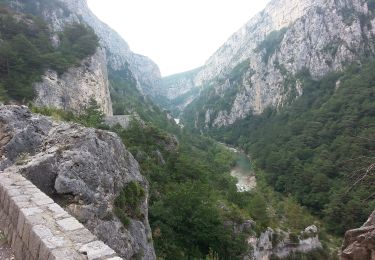
Après avoir longer la lac du barrage de Castillon, tentative de retour par la piste du vieux village de la Clue mais pas assez dégagée ; crevaison au retour ...
Walking
Walking
Walking
Walking
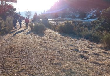
Walking
Walking
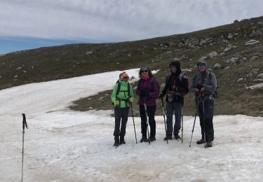
Walking
Walking
Motorbike