


ADEPS - AYWAILLE

Ko-Rando
User
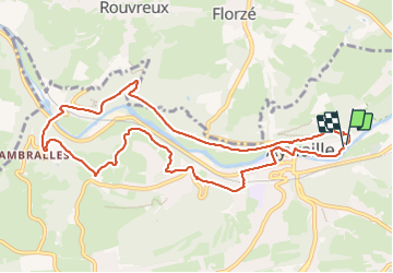

Length
10.1 km

Max alt
212 m

Uphill gradient
260 m
Km-Effort
13.6 km

Min alt
111 m

Downhill gradient
261 m
Boucle
Yes
Creation date :
2023-11-01 09:57:23.955
Updated on :
2023-11-01 12:02:28.64
2h01
Difficulty : Easy

FREE GPS app for hiking
 SityTrail
IGN / Geographical institutes
SityTrail Plus
The world is yours!
About
Trail Walking of 10.1 km to be discovered at Wallonia, Liège, Aywaille. This trail is proposed by Ko-Rando.
Description
Superbe !
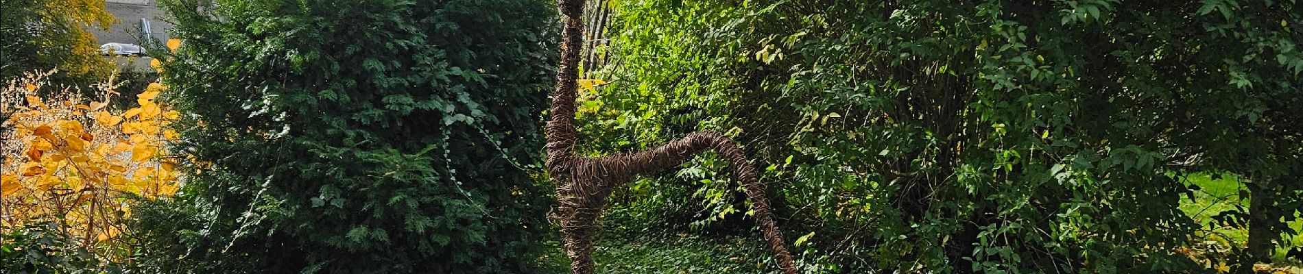
Photos


Positioning
Country:
Belgium
Region :
Wallonia
Department/Province :
Liège
Municipality :
Aywaille
Location:
Unknown
Start:(Dec)
Start:(UTM)
690395 ; 5595042 (31U) N.
Comments
Beau parcours fait par une journée pluvieuse.