


Nefiach par le pic haut

robertperello
User
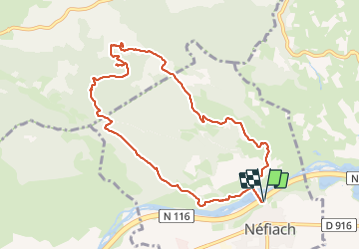

Length
10.8 km

Max alt
387 m

Uphill gradient
300 m
Km-Effort
14.8 km

Min alt
105 m

Downhill gradient
300 m
Boucle
Yes
Creation date :
2023-11-01 07:50:18.0
Updated on :
2023-11-01 13:24:56.675
3h40
Difficulty : Easy

FREE GPS app for hiking
 SityTrail
IGN / Geographical institutes
SityTrail Plus
The world is yours!
About
Trail Walking of 10.8 km to be discovered at Occitania, Pyrénées-Orientales, Néfiach. This trail is proposed by robertperello.
Description
Pking après le cimetière avant l’a Têt
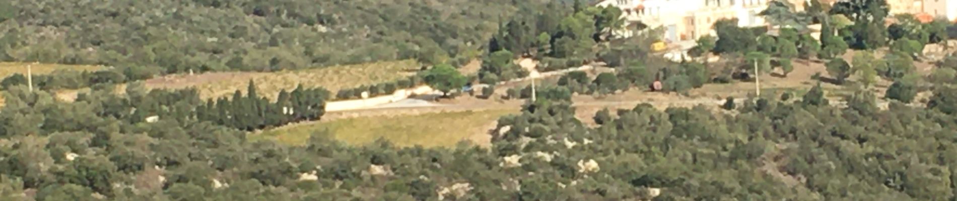
Photos


Positioning
Country:
France
Region :
Occitania
Department/Province :
Pyrénées-Orientales
Municipality :
Néfiach
Location:
Unknown
Start:(Dec)
Start:(UTM)
472639 ; 4727077 (31T) N.
Comments