


Pic des Redouneilles

petit-pied
User
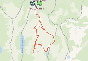

Length
21 km

Max alt
2488 m

Uphill gradient
1601 m
Km-Effort
43 km

Min alt
941 m

Downhill gradient
1602 m
Boucle
Yes
Creation date :
2023-11-02 19:39:14.137
Updated on :
2023-11-02 19:49:36.784
6h00
Difficulty : Difficult

FREE GPS app for hiking
 SityTrail
IGN / Geographical institutes
SityTrail Plus
The world is yours!
About
Trail Walking of 21 km to be discovered at Occitania, Ariège, Siguer. This trail is proposed by petit-pied.
Positioning
Country:
France
Region :
Occitania
Department/Province :
Ariège
Municipality :
Siguer
Location:
Unknown
Start:(Dec)
Start:(UTM)
381244 ; 4731872 (31T) N.
Comments