


Balade dans les Maures

FSantoni
User
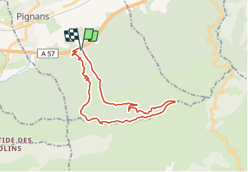

Length
16.3 km

Max alt
560 m

Uphill gradient
435 m
Km-Effort
22 km

Min alt
197 m

Downhill gradient
435 m
Boucle
Yes
Creation date :
2023-11-05 08:04:53.498
Updated on :
2023-11-05 18:43:12.775
5h01
Difficulty : Very difficult

FREE GPS app for hiking
 SityTrail
IGN / Geographical institutes
SityTrail Plus
The world is yours!
About
Trail Walking of 16.3 km to be discovered at Provence-Alpes-Côte d'Azur, Var, Pignans. This trail is proposed by FSantoni.
Description
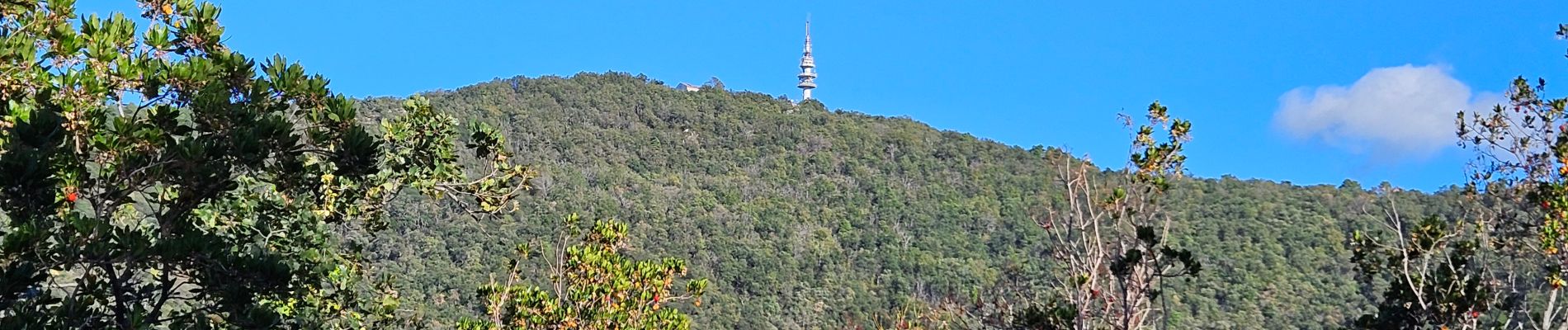
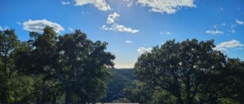
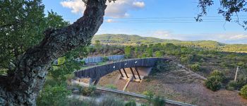
Rando uniquement sur pistes. Un choix judicieux aprés les fortes pluies de ces derniers jours.
Photos


Positioning
Country:
France
Region :
Provence-Alpes-Côte d'Azur
Department/Province :
Var
Municipality :
Pignans
Location:
Unknown
Start:(Dec)
Start:(UTM)
277235 ; 4796649 (32T) N.
Comments