


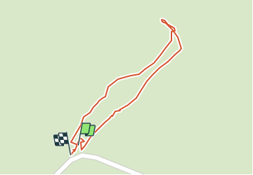

9 km | 12.3 km-effort


User


FREE GPS app for hiking
 SityTrail
IGN / Geographical institutes
SityTrail World
The world is yours!
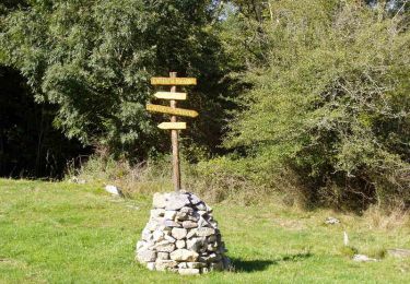
Trail Walking of 255 m to be discovered at New Aquitaine, Pyrénées-Atlantiques, Sauguis-Saint-Étienne. This trail is proposed by mitch1952.
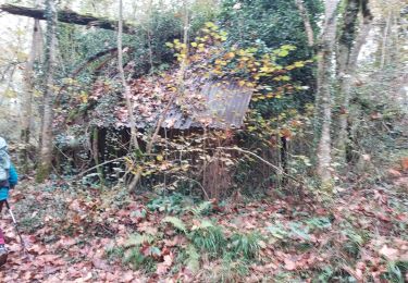
Tentative de trouver un passage pour a accéder au tracé magenta sur la carte IGN
On foot
Walking

Walking
Walking
Walking

Walking
Walking
Walking
Walking