


gras capou

arnoultjf
User
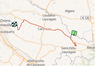

Length
39 km

Max alt
301 m

Uphill gradient
511 m
Km-Effort
46 km

Min alt
161 m

Downhill gradient
583 m
Boucle
No
Creation date :
2023-11-07 13:15:29.684
Updated on :
2023-11-07 16:34:56.45
3h18
Difficulty : Very difficult

FREE GPS app for hiking
 SityTrail
IGN / Geographical institutes
SityTrail Plus
The world is yours!
About
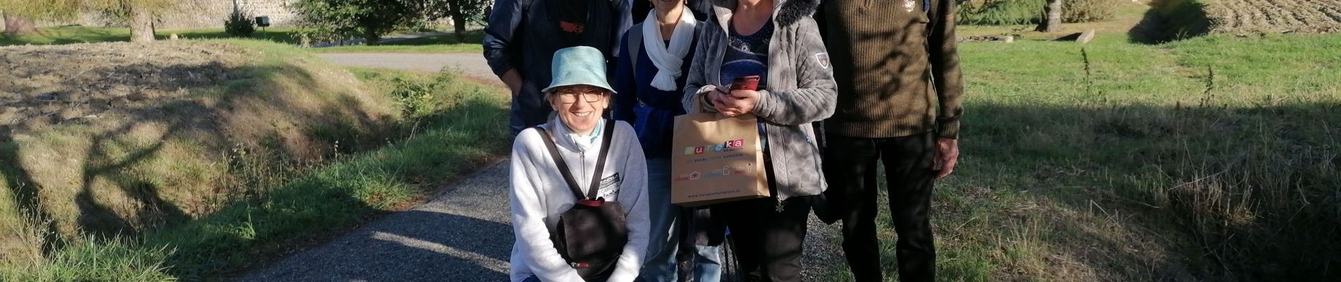
Trail Walking of 39 km to be discovered at Occitania, Haute-Garonne, Saint-Julia. This trail is proposed by arnoultjf.
Photos


Positioning
Country:
France
Region :
Occitania
Department/Province :
Haute-Garonne
Municipality :
Saint-Julia
Location:
Unknown
Start:(Dec)
Start:(UTM)
410797 ; 4815836 (31T) N.
Comments