


malpasset ps

psester
User
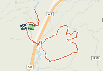

Length
7.5 km

Max alt
100 m

Uphill gradient
131 m
Km-Effort
9.2 km

Min alt
36 m

Downhill gradient
132 m
Boucle
Yes
Creation date :
2023-10-27 06:37:03.787
Updated on :
2024-03-30 08:57:33.192
2h05
Difficulty : Medium

FREE GPS app for hiking
 SityTrail
IGN / Geographical institutes
SityTrail Plus
The world is yours!
About
Trail Walking of 7.5 km to be discovered at Provence-Alpes-Côte d'Azur, Var, Fréjus. This trail is proposed by psester.
Description
rando facile
Positioning
Country:
France
Region :
Provence-Alpes-Côte d'Azur
Department/Province :
Var
Municipality :
Fréjus
Location:
Unknown
Start:(Dec)
Start:(UTM)
318505 ; 4819504 (32T) N.
Comments