


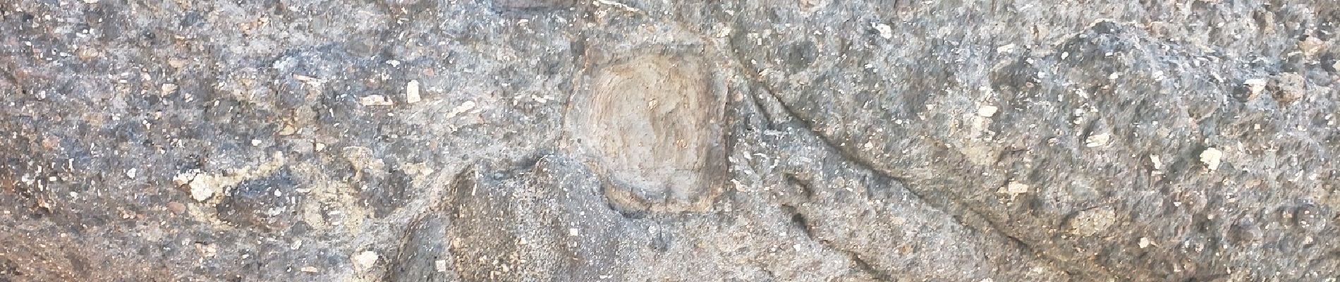
sentier des douaniers Géologie/ Botanique

boulinevelyne
User


1h32
Difficulty : Medium

FREE GPS app for hiking
 SityTrail
IGN / Geographical institutes
SityTrail Plus
The world is yours!
About
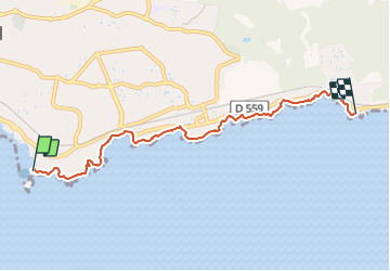
Trail Walking of 6 km to be discovered at Provence-Alpes-Côte d'Azur, Var, Saint-Raphaël. This trail is proposed by boulinevelyne.
Description
Plage d'Aigue Bonne
https://www.lithotheque.ac-aix-marseille.fr/Affleurements_PACA/83_esterellite/83_esterellite_aiguebonne.htm
Photos


24 photos in total. Please click on a photo to see them all in the gallery.
Positioning
Comments