


Notre Dame des Anges

FSantoni
User
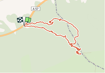

Length
11.4 km

Max alt
767 m

Uphill gradient
561 m
Km-Effort
18.9 km

Min alt
215 m

Downhill gradient
560 m
Boucle
Yes
Creation date :
2023-11-17 07:37:08.9
Updated on :
2023-11-17 16:07:12.261
4h41
Difficulty : Difficult

FREE GPS app for hiking
 SityTrail
IGN / Geographical institutes
SityTrail Plus
The world is yours!
About
Trail Walking of 11.4 km to be discovered at Provence-Alpes-Côte d'Azur, Var, Pignans. This trail is proposed by FSantoni.
Description
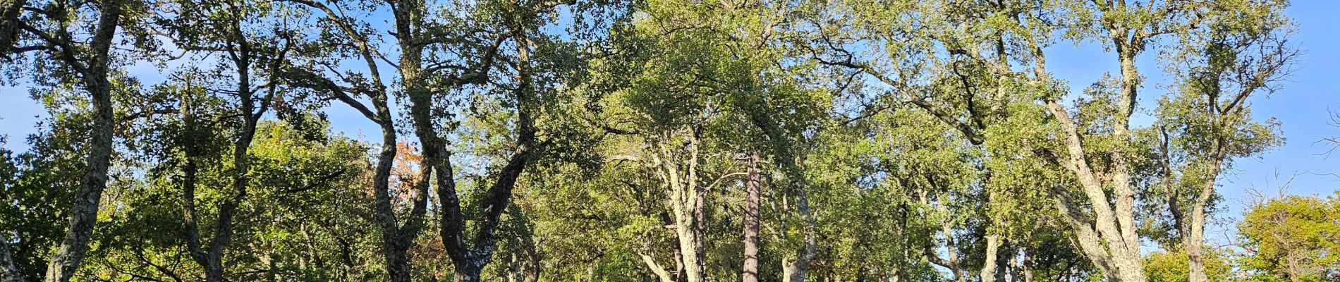
Montée vers ND des anges par une piste dont j'ai oublié le nom... et descente par le GR9.
Une très belle balade avec, enfin, des premières couleurs automnales. Celles que je préfére !
Photos


Positioning
Country:
France
Region :
Provence-Alpes-Côte d'Azur
Department/Province :
Var
Municipality :
Pignans
Location:
Unknown
Start:(Dec)
Start:(UTM)
277694 ; 4797000 (32T) N.
Comments