


Brossainc lac du Ternay

alinetpierre
User
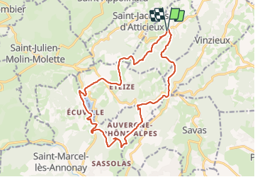

Length
18 km

Max alt
706 m

Uphill gradient
550 m
Km-Effort
25 km

Min alt
466 m

Downhill gradient
550 m
Boucle
Yes
Creation date :
2023-11-18 08:45:08.0
Updated on :
2023-11-18 13:56:44.344

FREE GPS app for hiking
 SityTrail
IGN / Geographical institutes
SityTrail Plus
The world is yours!
About
Trail of 18 km to be discovered at Auvergne-Rhône-Alpes, Ardèche, Brossainc. This trail is proposed by alinetpierre.
Description
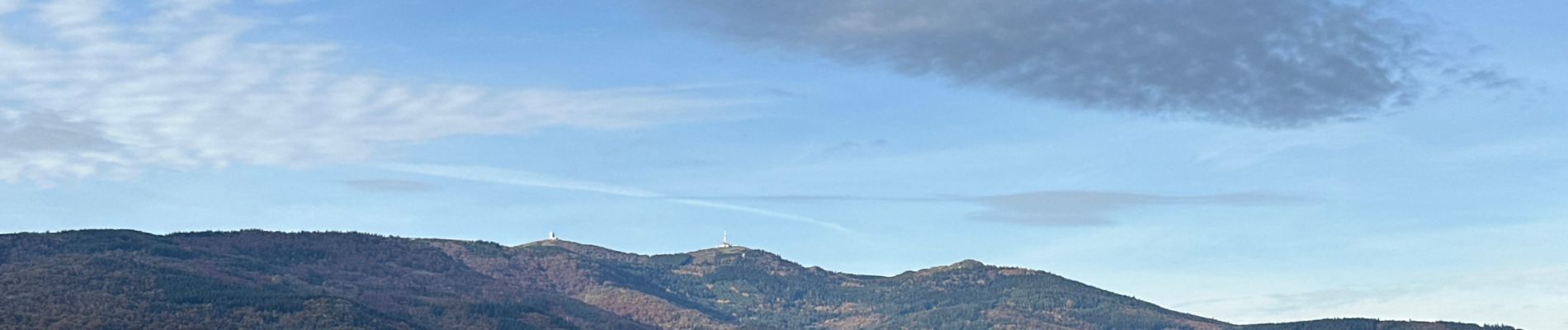
Très belle boucle , le lac est superbe
Photos


Positioning
Country:
France
Region :
Auvergne-Rhône-Alpes
Department/Province :
Ardèche
Municipality :
Brossainc
Location:
Unknown
Start:(Dec)
Start:(UTM)
631573 ; 5021037 (31T) N.
Comments