


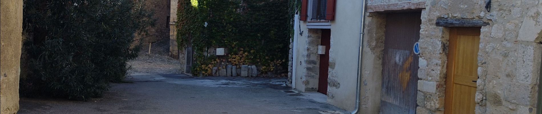
balade centre médiéval de lagrasse

Daron34
User
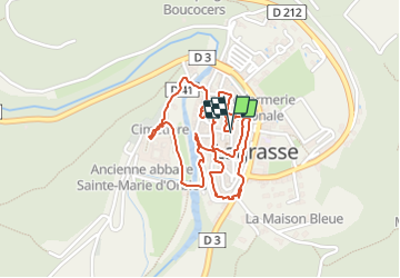

Length
2.7 km

Max alt
138 m

Uphill gradient
26 m
Km-Effort
3 km

Min alt
123 m

Downhill gradient
26 m
Boucle
Yes
Creation date :
2023-11-19 12:43:42.654
Updated on :
2023-11-19 13:47:22.607
1h03
Difficulty : Easy

FREE GPS app for hiking
 SityTrail
IGN / Geographical institutes
SityTrail Plus
The world is yours!
About
Trail Walking of 2.7 km to be discovered at Occitania, Aude, Lagrasse. This trail is proposed by Daron34.
Description
balade dans le vieux et beau village classé de lagrasse avec départ devant l office de tourisme
Photos


Positioning
Country:
France
Region :
Occitania
Department/Province :
Aude
Municipality :
Lagrasse
Location:
Unknown
Start:(Dec)
Start:(UTM)
469052 ; 4770987 (31T) N.
Comments