


gavrus08

gr1346
User
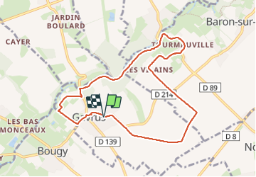

Length
8.5 km

Max alt
105 m

Uphill gradient
89 m
Km-Effort
9.7 km

Min alt
45 m

Downhill gradient
91 m
Boucle
Yes
Creation date :
2023-10-20 11:57:01.835
Updated on :
2023-11-23 17:15:53.055
2h06
Difficulty : Medium

FREE GPS app for hiking
 SityTrail
IGN / Geographical institutes
SityTrail Plus
The world is yours!
About
Trail Walking of 8.5 km to be discovered at Normandy, Calvados, Gavrus. This trail is proposed by gr1346.
Description
rando agréable
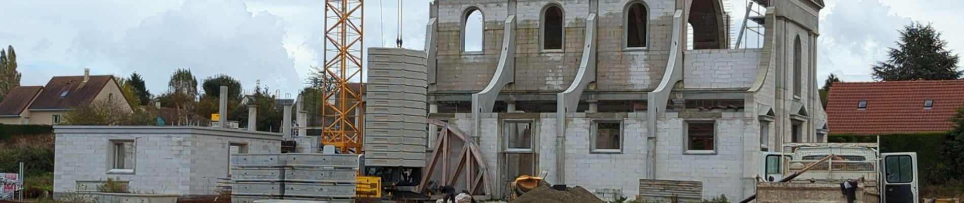
Photos


Positioning
Country:
France
Region :
Normandy
Department/Province :
Calvados
Municipality :
Gavrus
Location:
Unknown
Start:(Dec)
Start:(UTM)
681469 ; 5443501 (30U) N.
Comments