


st Sébastien d'Aigrefeuille

Dupuybadonniere
User
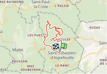

Length
13.9 km

Max alt
489 m

Uphill gradient
372 m
Km-Effort
18.9 km

Min alt
228 m

Downhill gradient
395 m
Boucle
Yes
Creation date :
2023-11-26 08:51:35.604
Updated on :
2023-11-26 14:23:58.153
3h26
Difficulty : Difficult

FREE GPS app for hiking
 SityTrail
IGN / Geographical institutes
SityTrail Plus
The world is yours!
About
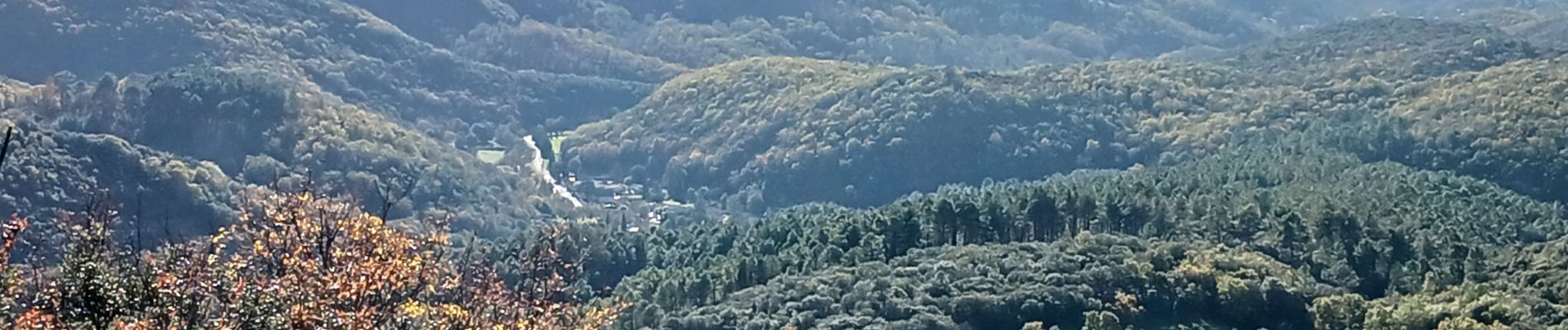
Trail Walking of 13.9 km to be discovered at Occitania, Gard, Saint-Sébastien-d'Aigrefeuille. This trail is proposed by Dupuybadonniere.
Photos

Positioning
Country:
France
Region :
Occitania
Department/Province :
Gard
Municipality :
Saint-Sébastien-d'Aigrefeuille
Location:
Unknown
Start:(Dec)
Start:(UTM)
579312 ; 4884430 (31T) N.
Comments