


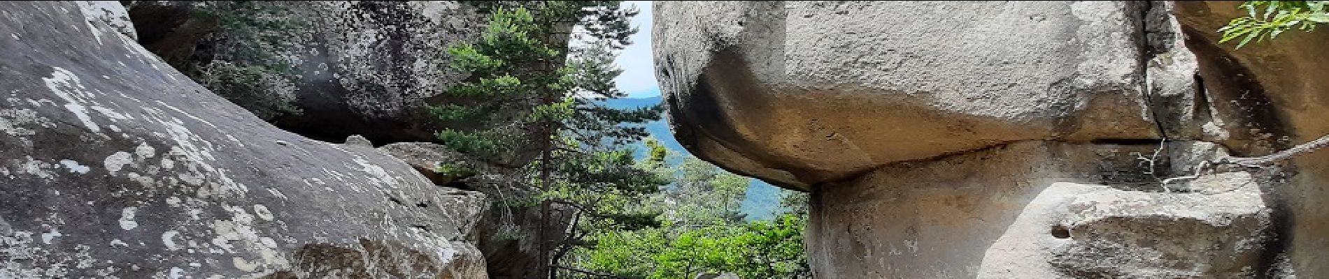
2023-11-28_09h24m38_Les_Gres_d_Annot

boulinevelyne
User
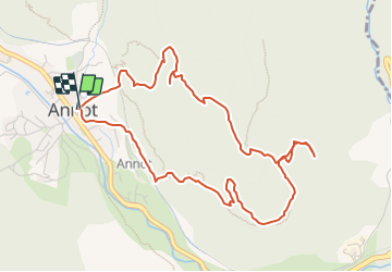

Length
5.7 km

Max alt
1040 m

Uphill gradient
387 m
Km-Effort
10.9 km

Min alt
689 m

Downhill gradient
388 m
Boucle
Yes
Creation date :
2023-11-28 08:24:38.241
Updated on :
2023-11-28 08:33:49.445
2h28
Difficulty : Medium

FREE GPS app for hiking
 SityTrail
IGN / Geographical institutes
SityTrail Plus
The world is yours!
About
Trail Walking of 5.7 km to be discovered at Provence-Alpes-Côte d'Azur, Alpes-de-Haute-Provence, Annot. This trail is proposed by boulinevelyne.
Photos

Positioning
Country:
France
Region :
Provence-Alpes-Côte d'Azur
Department/Province :
Alpes-de-Haute-Provence
Municipality :
Annot
Location:
Unknown
Start:(Dec)
Start:(UTM)
312907 ; 4870754 (32T) N.
Comments