


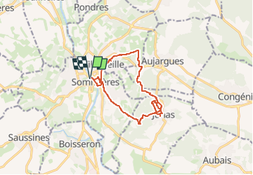

14 km | 16.9 km-effort


User


FREE GPS app for hiking
 SityTrail
IGN / Geographical institutes
SityTrail World
The world is yours!
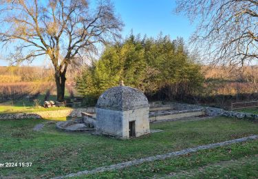
Trail Walking of 12.9 km to be discovered at Occitania, Gard, Sommières. This trail is proposed by caroline116.
Nous n'avons pas réussi à prendre le petit chemin balisé après le château qui arrive au ch du Pic St Loup. Du coup on arrive à Villevieille oar le chemin du Belleau.
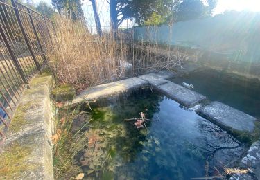
Picnic aux carrières de Junas

Walking

Walking

Walking
Walking
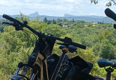
Electric bike
Walking
Walking
Walking