


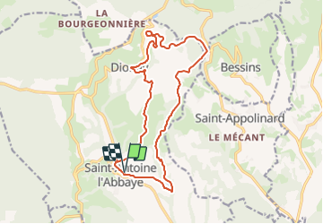
De Saint-Antoine l'Abbaye à Dionay -17km

okfred26
User

Length
17.1 km

Max alt
633 m

Uphill gradient
465 m
Km-Effort
23 km

Min alt
349 m

Downhill gradient
465 m
Boucle
Yes
Creation date :
2023-12-01 14:40:40.743
Updated on :
2023-12-03 19:29:18.579
5h17
Difficulty : Very difficult

FREE GPS app for hiking
 SityTrail
IGN / Geographical institutes
SityTrail Plus
The world is yours!
About
Trail Walking of 17.1 km to be discovered at Auvergne-Rhône-Alpes, Isère, Saint-Antoine l'Abbaye. This trail is proposed by okfred26.
Positioning
Country:
France
Region :
Auvergne-Rhône-Alpes
Department/Province :
Isère
Municipality :
Saint-Antoine l'Abbaye
Location:
Saint-Antoine-l'Abbaye
Start:(Dec)
Start:(UTM)
674360 ; 5004746 (31T) N.
Comments