


PR1 St Georges 3/12/2023

Glurps
User
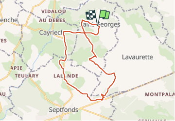

Length
16.5 km

Max alt
228 m

Uphill gradient
175 m
Km-Effort
18.9 km

Min alt
157 m

Downhill gradient
176 m
Boucle
Yes
Creation date :
2023-12-03 10:47:55.0
Updated on :
2023-12-03 15:15:11.044

FREE GPS app for hiking
 SityTrail
IGN / Geographical institutes
SityTrail Plus
The world is yours!
About
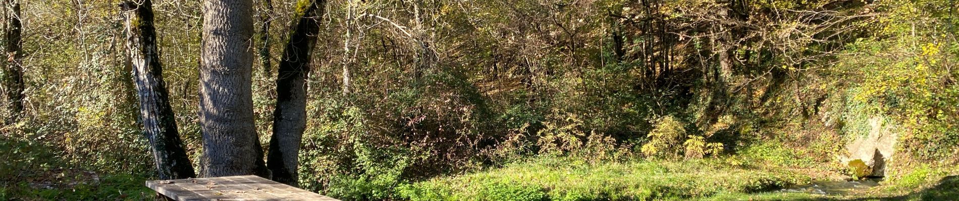
Trail of 16.5 km to be discovered at Occitania, Tarn-et-Garonne, Saint-Georges. This trail is proposed by Glurps.
Photos


Positioning
Country:
France
Region :
Occitania
Department/Province :
Tarn-et-Garonne
Municipality :
Saint-Georges
Location:
Unknown
Start:(Dec)
Start:(UTM)
391645 ; 4897443 (31T) N.
Comments