


La randonnée des Palombes à Sainte Colombe 16

alainjoseph6
User
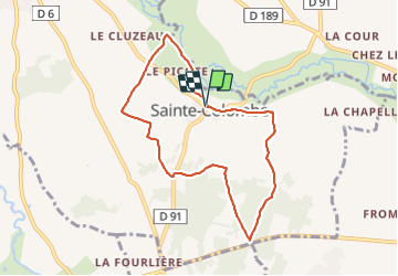

Length
7.9 km

Max alt
128 m

Uphill gradient
95 m
Km-Effort
9.1 km

Min alt
74 m

Downhill gradient
94 m
Boucle
Yes
Creation date :
2023-12-08 12:19:00.828
Updated on :
2023-12-08 14:35:22.802
2h15
Difficulty : Easy

FREE GPS app for hiking
 SityTrail
IGN / Geographical institutes
SityTrail Plus
The world is yours!
About
Trail Walking of 7.9 km to be discovered at New Aquitaine, Charente, Val-de-Bonnieure. This trail is proposed by alainjoseph6.
Description
Une balade sympathique facile avec retour au bord de la Bonnieure. Balisage bleu
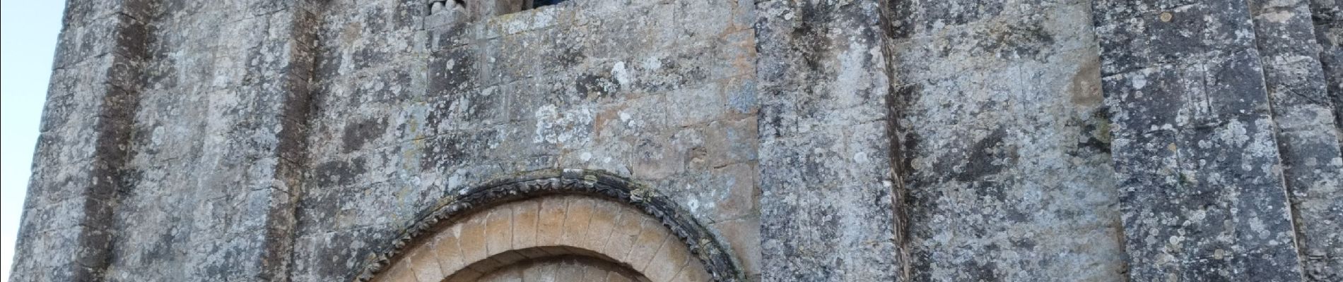
Photos


Positioning
Country:
France
Region :
New Aquitaine
Department/Province :
Charente
Municipality :
Val-de-Bonnieure
Location:
Unknown
Start:(Dec)
Start:(UTM)
291769 ; 5079027 (31T) N.
Comments