


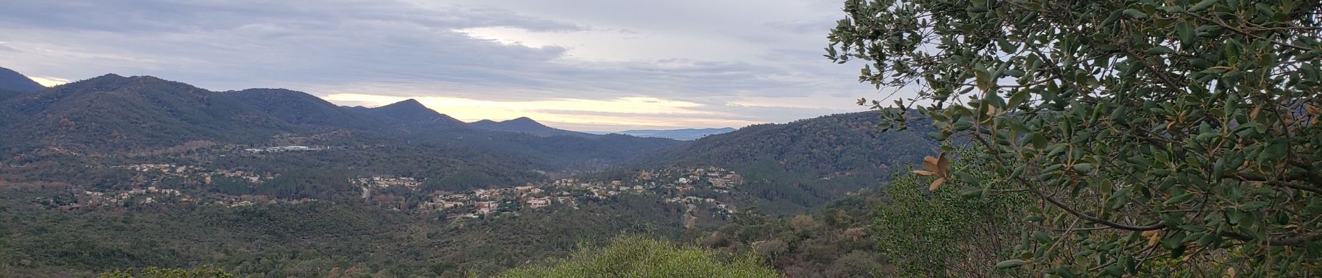
Le lac de Saint Cassien et la réserve biologique de Fondurane

boulinevelyne
User


4h51
Difficulty : Medium

FREE GPS app for hiking
 SityTrail
IGN / Geographical institutes
SityTrail Plus
The world is yours!
About
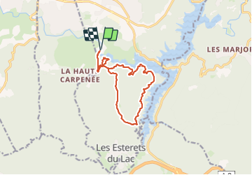
Trail Walking of 13.7 km to be discovered at Provence-Alpes-Côte d'Azur, Var, Montauroux. This trail is proposed by boulinevelyne.
Description
A partir du point 198 se rendre au point 301 puis aller à droite à la citerne. C'est plus long mais la côte sera moins raide.
Prendre photo "Lac de Saint Cassien" pour la mettre sur le site R.A.
Photos


Positioning
Comments