


20231216-sahurs

doudet
User

Length
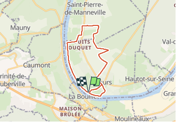
12.8 km

Max alt
46 m

Uphill gradient
103 m
Km-Effort
14.2 km

Min alt
-1 m

Downhill gradient
104 m
Boucle
Yes
Creation date :
2023-12-16 12:26:01.423
Updated on :
2023-12-17 09:42:11.879
3h18
Difficulty : Medium

FREE GPS app for hiking
 SityTrail
IGN / Geographical institutes
SityTrail Plus
The world is yours!
About
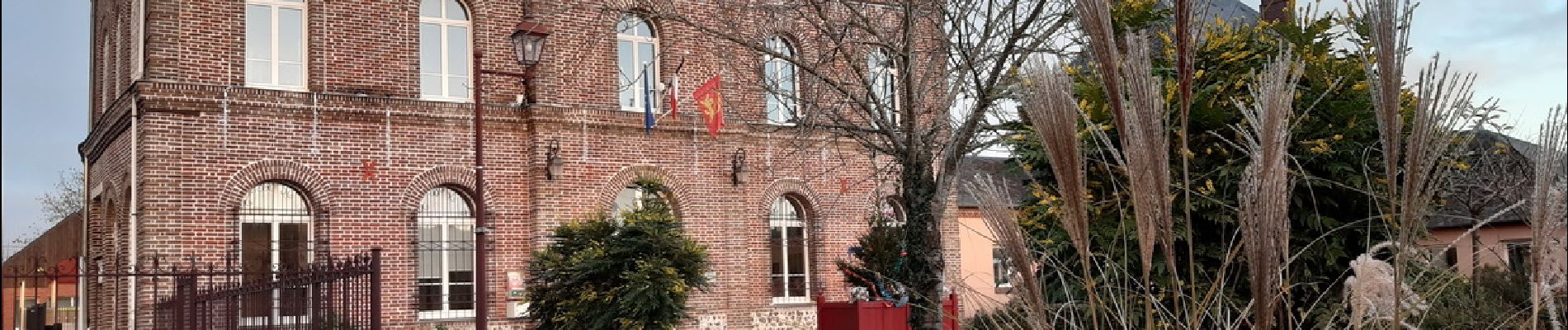
Trail Walking of 12.8 km to be discovered at Normandy, Seine-Maritime, Sahurs. This trail is proposed by doudet.
Description
Boucle A-R au départ du Bac de Sahurs
Photos


25 photos in total. Please click on a photo to see them all in the gallery.
Positioning
Country:
France
Region :
Normandy
Department/Province :
Seine-Maritime
Municipality :
Sahurs
Location:
Unknown
Start:(Dec)
Start:(UTM)
349997 ; 5468860 (31U) N.
Comments