


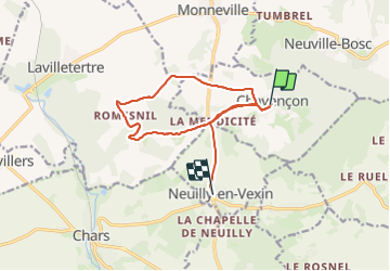
Chavenson

avdem
User

Length
12.7 km

Max alt
157 m

Uphill gradient
199 m
Km-Effort
15.3 km

Min alt
88 m

Downhill gradient
183 m
Boucle
No
Creation date :
2023-12-19 08:39:31.259
Updated on :
2023-12-19 11:07:12.681
2h26
Difficulty : Very easy

FREE GPS app for hiking
 SityTrail
IGN / Geographical institutes
SityTrail Plus
The world is yours!
About
Trail Walking of 12.7 km to be discovered at Hauts-de-France, Oise, Chavençon. This trail is proposed by avdem.
Description
tres facile
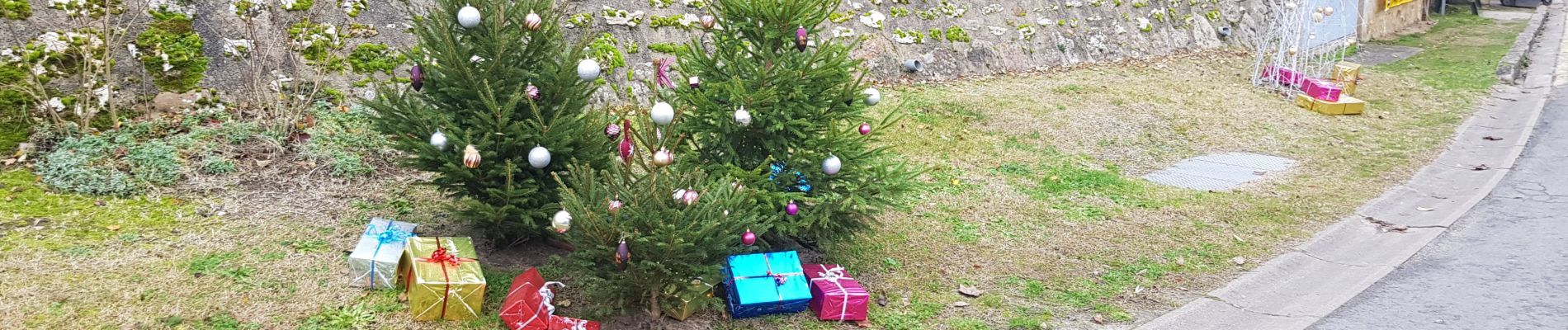
Photos


Positioning
Country:
France
Region :
Hauts-de-France
Department/Province :
Oise
Municipality :
Chavençon
Location:
Unknown
Start:(Dec)
Start:(UTM)
426674 ; 5448780 (31U) N.
Comments