


dramont

Françoise FANTON
User

Length
20 km

Max alt
178 m

Uphill gradient
599 m
Km-Effort
28 km

Min alt
-1 m

Downhill gradient
479 m
Boucle
No
Creation date :
2024-01-03 07:55:46.804
Updated on :
2024-01-03 15:30:11.979
7h34
Difficulty : Very difficult

FREE GPS app for hiking
 SityTrail
IGN / Geographical institutes
SityTrail Plus
The world is yours!
About
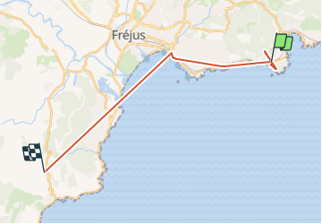
Trail Walking of 20 km to be discovered at Provence-Alpes-Côte d'Azur, Var, Saint-Raphaël. This trail is proposed by Françoise FANTON.
Positioning
Country:
France
Region :
Provence-Alpes-Côte d'Azur
Department/Province :
Var
Municipality :
Saint-Raphaël
Location:
Unknown
Start:(Dec)
Start:(UTM)
325572 ; 4809398 (32T) N.
Comments