


Vallon des cerisiers Mazaugues La Roque

FSantoni
User
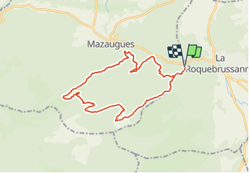

Length
17.8 km

Max alt
883 m

Uphill gradient
688 m
Km-Effort
27 km

Min alt
413 m

Downhill gradient
688 m
Boucle
Yes
Creation date :
2024-01-03 17:55:46.772
Updated on :
2024-01-03 17:58:04.408
6h07
Difficulty : Very difficult

FREE GPS app for hiking
 SityTrail
IGN / Geographical institutes
SityTrail Plus
The world is yours!
About
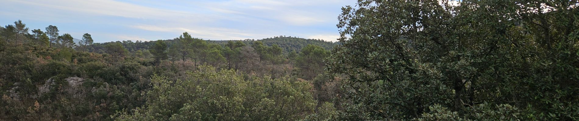
Trail Walking of 17.8 km to be discovered at Provence-Alpes-Côte d'Azur, Var, Mazaugues. This trail is proposed by FSantoni.
Photos


Positioning
Country:
France
Region :
Provence-Alpes-Côte d'Azur
Department/Province :
Var
Municipality :
Mazaugues
Location:
Unknown
Start:(Dec)
Start:(UTM)
739847 ; 4802722 (31T) N.
Comments