


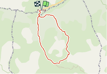

9.3 km | 18.1 km-effort

User


FREE GPS app for hiking
 SityTrail
IGN / Geographical institutes
SityTrail World
The world is yours!
Trail Snowshoes of 8.5 km to be discovered at Provence-Alpes-Côte d'Azur, Maritime Alps, Saint-Étienne-de-Tinée. This trail is proposed by bozo1970.
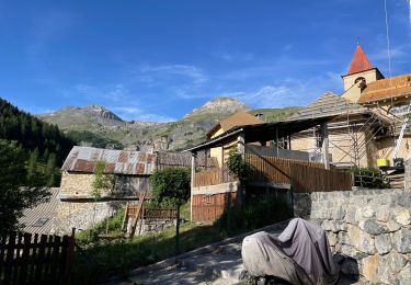
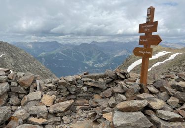
Départ de Roya
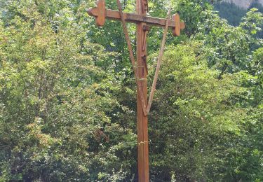
Église
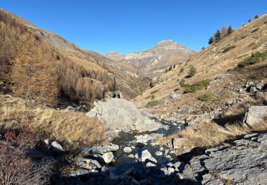
Direction le Vallon de l’Adret
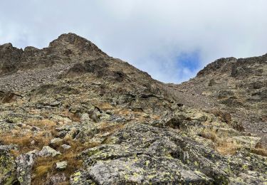
2h de montée en forêt hors sentier
Assez pénible
Dès que l’on sort sur les crêtes 3km et D 624. une autre randonnée commence, très agréable
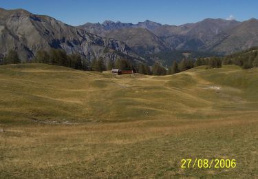
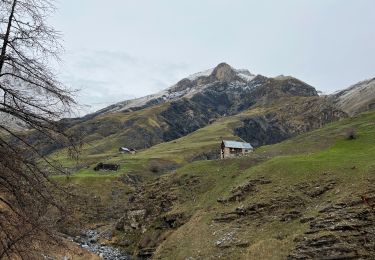
Cabane Vieille en 2h43’, 4km et D 804m
Début de descente plein ouest, droit dans la pente jusqu’au GR que l’on suit jusqu’à Roya
Boucle en 4h15’, 8km500 et D 851
Chamois
Très belle balade
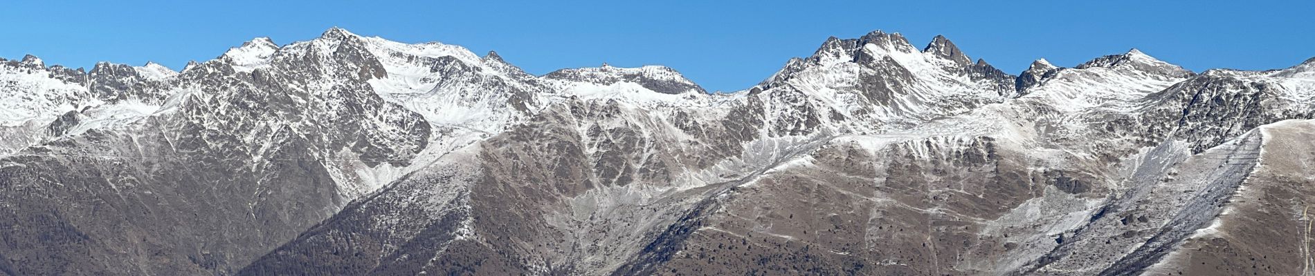
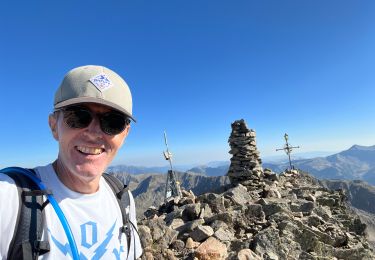
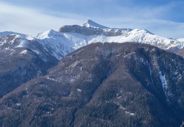
Jolie vue sur le Rougnous, la Cîme de Pal, Las Donnas à l’ouest , le Tenibre et le Corborant à l’est


On foot
Walking
Walking
Walking
Walking
Walking
Walking
Walking
Walking