


st bonnet 2

GOIOLIRIBES
User


Length
11.9 km

Max alt
165 m

Uphill gradient
316 m
Km-Effort
16.1 km

Min alt
48 m

Downhill gradient
318 m
Boucle
Yes
Creation date :
2024-01-04 08:30:14.513
Updated on :
2024-01-04 13:13:44.527
4h42
Difficulty : Medium

FREE GPS app for hiking
 SityTrail
IGN / Geographical institutes
SityTrail Plus
The world is yours!
About
Trail Walking of 11.9 km to be discovered at Occitania, Gard, Saint-Bonnet-du-Gard. This trail is proposed by GOIOLIRIBES.
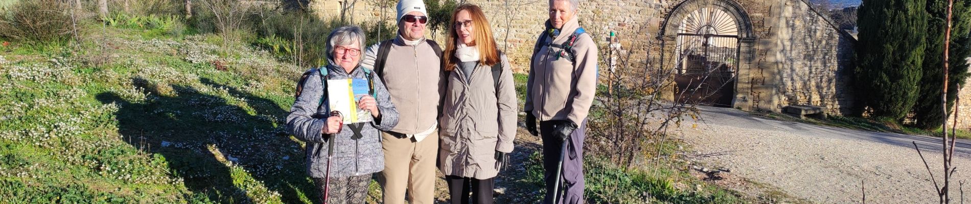
Photos


Positioning
Country:
France
Region :
Occitania
Department/Province :
Gard
Municipality :
Saint-Bonnet-du-Gard
Location:
Unknown
Start:(Dec)
Start:(UTM)
623968 ; 4865011 (31T) N.
Comments