


potigny-01

gr1346
User
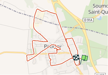

Length
7.1 km

Max alt
189 m

Uphill gradient
61 m
Km-Effort
7.9 km

Min alt
151 m

Downhill gradient
60 m
Boucle
Yes
Creation date :
2024-01-12 13:01:06.02
Updated on :
2024-01-12 17:26:19.631
1h47
Difficulty : Medium

FREE GPS app for hiking
 SityTrail
IGN / Geographical institutes
SityTrail Plus
The world is yours!
About
Trail Walking of 7.1 km to be discovered at Normandy, Calvados, Potigny. This trail is proposed by gr1346.
Description
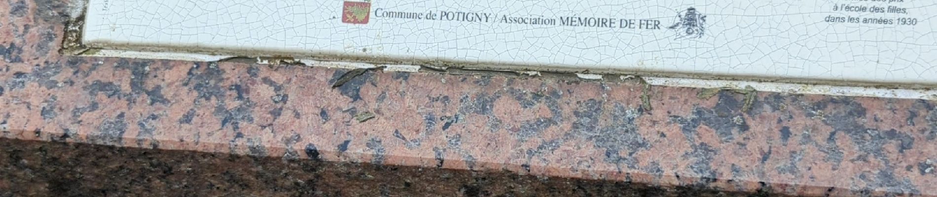
circuit de la mine
Photos


31 photos in total. Please click on a photo to see them all in the gallery.
Positioning
Country:
France
Region :
Normandy
Department/Province :
Calvados
Municipality :
Potigny
Location:
Unknown
Start:(Dec)
Start:(UTM)
702025 ; 5427593 (30U) N.
Comments