


Autrans

raygautier
User
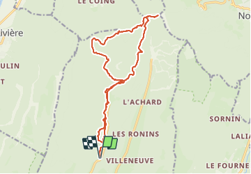

Length
18.5 km

Max alt
1634 m

Uphill gradient
823 m
Km-Effort
29 km

Min alt
1193 m

Downhill gradient
824 m
Boucle
Yes
Creation date :
2024-01-21 08:14:52.0
Updated on :
2024-01-21 15:48:56.858

FREE GPS app for hiking
 SityTrail
IGN / Geographical institutes
SityTrail Plus
The world is yours!
About
Trail of 18.5 km to be discovered at Auvergne-Rhône-Alpes, Isère, Autrans-Méaudre en Vercors. This trail is proposed by raygautier.
Positioning
Country:
France
Region :
Auvergne-Rhône-Alpes
Department/Province :
Isère
Municipality :
Autrans-Méaudre en Vercors
Location:
Autrans
Start:(Dec)
Start:(UTM)
700739 ; 5007697 (31T) N.
Comments