


Benyvai olon

losjo
User
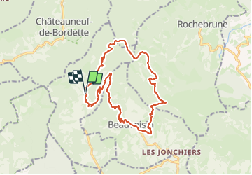

Length
18.4 km

Max alt
901 m

Uphill gradient
696 m
Km-Effort
28 km

Min alt
485 m

Downhill gradient
694 m
Boucle
Yes
Creation date :
2024-01-23 08:20:10.893
Updated on :
2024-01-23 17:55:14.424
7h01
Difficulty : Medium

FREE GPS app for hiking
 SityTrail
IGN / Geographical institutes
SityTrail Plus
The world is yours!
About
Trail Walking of 18.4 km to be discovered at Auvergne-Rhône-Alpes, Drôme, Bénivay-Ollon. This trail is proposed by losjo.
Description
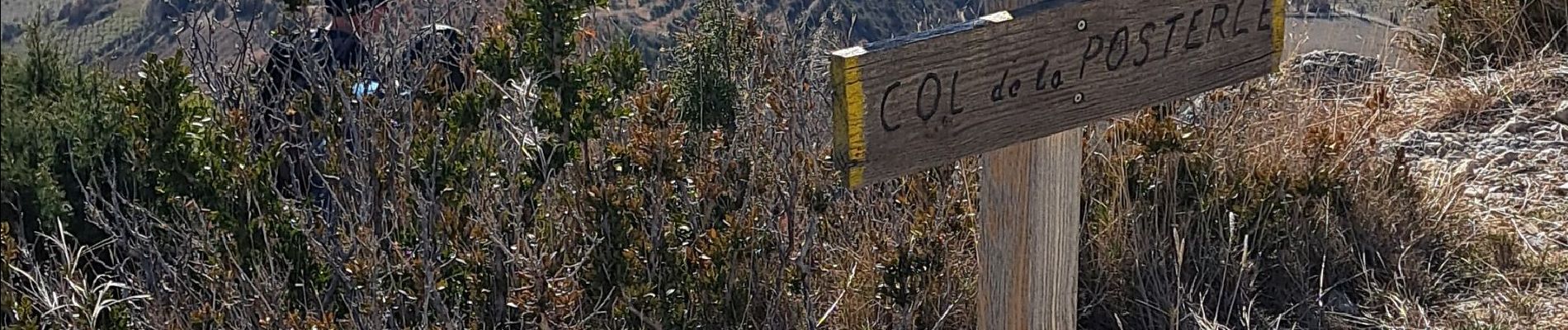
vue magnifiques
Photos

Positioning
Country:
France
Region :
Auvergne-Rhône-Alpes
Department/Province :
Drôme
Municipality :
Bénivay-Ollon
Location:
Unknown
Start:(Dec)
Start:(UTM)
674526 ; 4908889 (31T) N.
Comments