


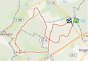
2024-01-24 Rando Angervilliers-Bonnelles

jchezlemas
User

Length
11.6 km

Max alt
170 m

Uphill gradient
189 m
Km-Effort
14.1 km

Min alt
95 m

Downhill gradient
188 m
Boucle
Yes
Creation date :
2024-01-24 08:03:13.047
Updated on :
2024-01-24 13:02:26.27
2h53
Difficulty : Difficult

FREE GPS app for hiking
 SityTrail
IGN / Geographical institutes
SityTrail Plus
The world is yours!
About
Trail Walking of 11.6 km to be discovered at Ile-de-France, Essonne, Angervilliers. This trail is proposed by jchezlemas.
Positioning
Country:
France
Region :
Ile-de-France
Department/Province :
Essonne
Municipality :
Angervilliers
Location:
Unknown
Start:(Dec)
Start:(UTM)
430187 ; 5383852 (31U) N.
Comments