


X

raygautier
User

Length
20 km

Max alt
1125 m

Uphill gradient
836 m
Km-Effort
31 km

Min alt
501 m

Downhill gradient
868 m
Boucle
No
Creation date :
2024-01-28 08:05:48.0
Updated on :
2024-01-28 15:24:21.392

FREE GPS app for hiking
 SityTrail
IGN / Geographical institutes
SityTrail Plus
The world is yours!
About
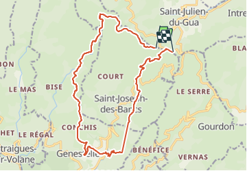
Trail of 20 km to be discovered at Auvergne-Rhône-Alpes, Ardèche, Saint-Joseph-des-Bancs. This trail is proposed by raygautier.
Positioning
Country:
France
Region :
Auvergne-Rhône-Alpes
Department/Province :
Ardèche
Municipality :
Saint-Joseph-des-Bancs
Location:
Unknown
Start:(Dec)
Start:(UTM)
613127 ; 4956897 (31T) N.
Comments