


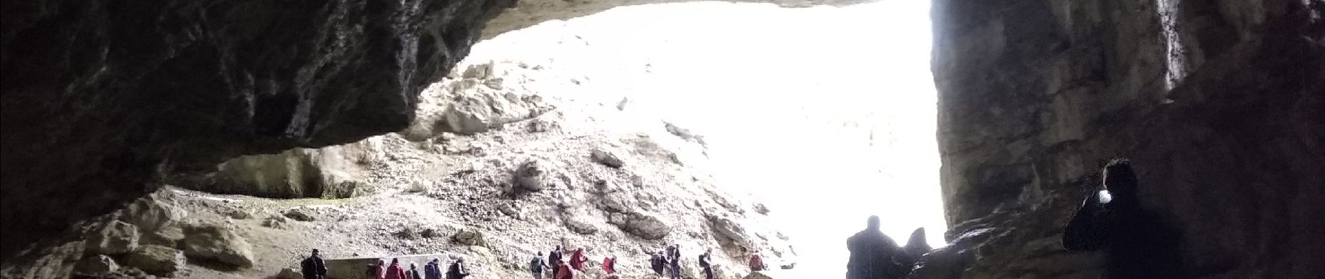
brudour-bournillon

alinetpierre
User


Length
8.9 km

Max alt
1258 m

Uphill gradient
297 m
Km-Effort
12.9 km

Min alt
1066 m

Downhill gradient
297 m
Boucle
Yes
Creation date :
2024-01-31 08:36:16.946
Updated on :
2024-01-31 13:01:15.298
2h40
Difficulty : Easy

FREE GPS app for hiking
 SityTrail
IGN / Geographical institutes
SityTrail Plus
The world is yours!
About
Trail Walking of 8.9 km to be discovered at Auvergne-Rhône-Alpes, Drôme, Bouvante. This trail is proposed by alinetpierre.
Photos


Positioning
Country:
France
Region :
Auvergne-Rhône-Alpes
Department/Province :
Drôme
Municipality :
Bouvante
Location:
Unknown
Start:(Dec)
Start:(UTM)
683403 ; 4980400 (31T) N.
Comments