


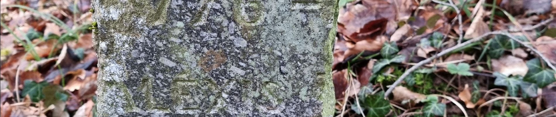
repérage bois de Greux

CDSM 55
User
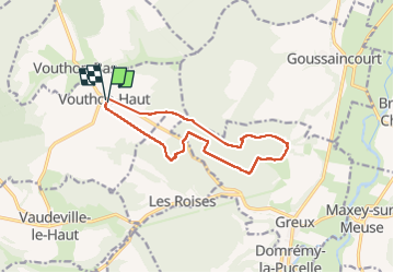

Length
11.4 km

Max alt
412 m

Uphill gradient
232 m
Km-Effort
14.5 km

Min alt
308 m

Downhill gradient
235 m
Boucle
Yes
Creation date :
2024-02-08 13:59:21.984
Updated on :
2024-02-08 16:53:07.034
2h19
Difficulty : Medium

FREE GPS app for hiking
 SityTrail
IGN / Geographical institutes
SityTrail Plus
The world is yours!
About
Trail Walking of 11.4 km to be discovered at Grand Est, Meuse, Vouthon-Haut. This trail is proposed by CDSM 55.
Photos


Positioning
Country:
France
Region :
Grand Est
Department/Province :
Meuse
Municipality :
Vouthon-Haut
Location:
Unknown
Start:(Dec)
Start:(UTM)
693505 ; 5372516 (31U) N.
Comments
de bien belles allées, mais après être passé près de la chapelle de Bermont le fond du val est un cul de sac avec un talus très difficile à pied et impossible à VTT