


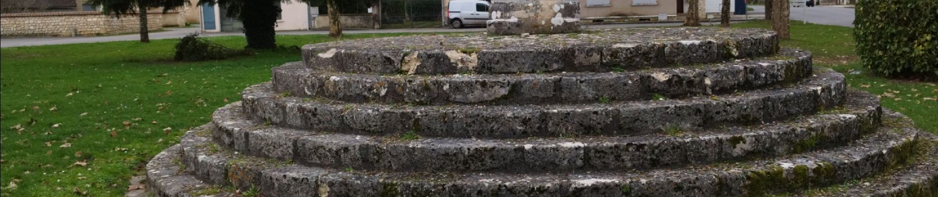
Pranzac et ses petits villages.

alainjoseph6
User


2h26
Difficulty : Medium

FREE GPS app for hiking
 SityTrail
IGN / Geographical institutes
SityTrail Plus
The world is yours!
About
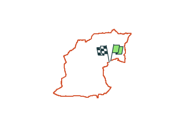
Trail Walking of 7.8 km to be discovered at New Aquitaine, Charente, Pranzac. This trail is proposed by alainjoseph6.
Description
Au départ de la lanterne des morts à Pranzac , visitez le bourg de Pranzac , direction le parc du château et tourner à gauche avant le village de chez Ponchet vers le Bandiat ..la vallée en traversant le Bandiat sur une petite passerelle et direction Bechemour, puis Glane , empunter la voie verte direction Gros Therme et emprunter le pont romain sur le Bandiat vers Pranzac
Photos


Positioning
Comments