


St projet beauregard

Glurps
User

Length
15.7 km

Max alt
396 m

Uphill gradient
227 m
Km-Effort
18.8 km

Min alt
321 m

Downhill gradient
227 m
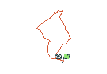
Boucle
Yes
Creation date :
2024-02-15 11:18:45.0
Updated on :
2024-02-15 15:55:53.391

FREE GPS app for hiking
 SityTrail
IGN / Geographical institutes
SityTrail Plus
The world is yours!
About
Trail of 15.7 km to be discovered at Occitania, Tarn-et-Garonne, Saint-Projet. This trail is proposed by Glurps.
Description
Par gr 46 et pr 1 a peu près. On doit pouvoir éviter la route finale
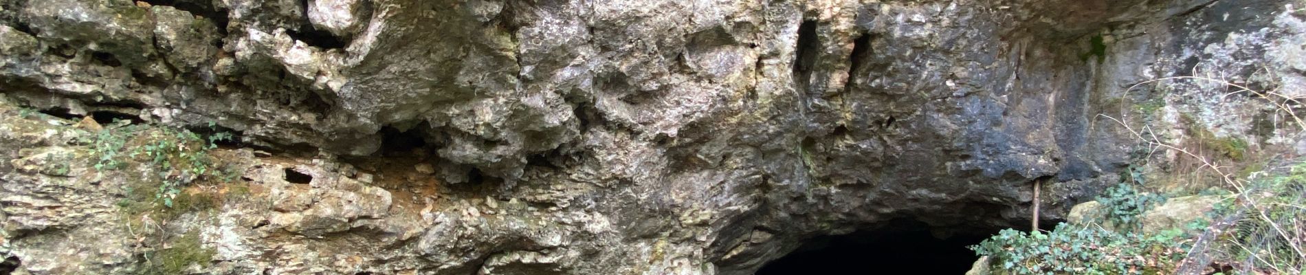
Photos


Positioning
Country:
France
Region :
Occitania
Department/Province :
Tarn-et-Garonne
Municipality :
Saint-Projet
Location:
Unknown
Start:(Dec)
Start:(UTM)
403662 ; 4906189 (31T) N.
Comments