


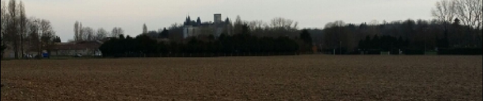
Une balade à Rivières

alainjoseph6
User
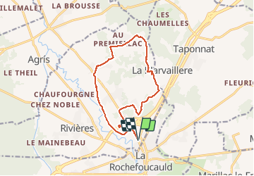

Length
13.9 km

Max alt
144 m

Uphill gradient
142 m
Km-Effort
15.7 km

Min alt
72 m

Downhill gradient
142 m
Boucle
Yes
Creation date :
2015-03-12 00:00:00.0
Updated on :
2015-03-12 00:00:00.0
3h33
Difficulty : Easy

FREE GPS app for hiking
 SityTrail
IGN / Geographical institutes
SityTrail Plus
The world is yours!
About
Trail Walking of 13.9 km to be discovered at New Aquitaine, Charente, Rivières. This trail is proposed by alainjoseph6.
Description
Agréable -facile
Photos


Positioning
Country:
France
Region :
New Aquitaine
Department/Province :
Charente
Municipality :
Rivières
Location:
Unknown
Start:(Dec)
Start:(UTM)
296451 ; 5069337 (31T) N.
Comments