


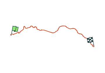
J4 - Pontorson - Saint-Hilaire - 40 km

jeanmarcMasson
User GUIDE

Length
39 km

Max alt
116 m

Uphill gradient
318 m
Km-Effort
43 km

Min alt
0 m

Downhill gradient
262 m
Boucle
No
Creation date :
2024-02-16 11:28:00.678
Updated on :
2024-02-16 11:57:37.461
--
Difficulty : Very difficult

FREE GPS app for hiking
 SityTrail
IGN / Geographical institutes
SityTrail Plus
The world is yours!
About
Trail Bicycle tourism of 39 km to be discovered at Normandy, Manche, Pontorson. This trail is proposed by jeanmarcMasson.
Positioning
Country:
France
Region :
Normandy
Department/Province :
Manche
Municipality :
Pontorson
Location:
Pontorson
Start:(Dec)
Start:(UTM)
611398 ; 5385852 (30U) N.
Comments