


marche adeps Anlier

thomas1986
User
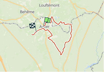

Length
12.1 km

Max alt
482 m

Uphill gradient
203 m
Km-Effort
14.9 km

Min alt
398 m

Downhill gradient
233 m
Boucle
No
Creation date :
2024-02-25 08:32:01.399
Updated on :
2024-02-25 10:33:24.601
2h00
Difficulty : Very easy

FREE GPS app for hiking
 SityTrail
IGN / Geographical institutes
SityTrail Plus
The world is yours!
About
Trail Walking of 12.1 km to be discovered at Wallonia, Luxembourg, Habay. This trail is proposed by thomas1986.
Description
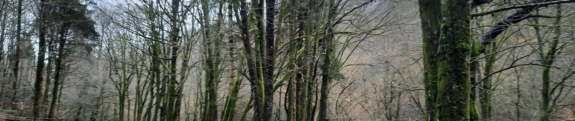
Principalement chemins forestiers
Photos


Positioning
Country:
Belgium
Region :
Wallonia
Department/Province :
Luxembourg
Municipality :
Habay
Location:
Unknown
Start:(Dec)
Start:(UTM)
688670 ; 5516662 (31U) N.
Comments